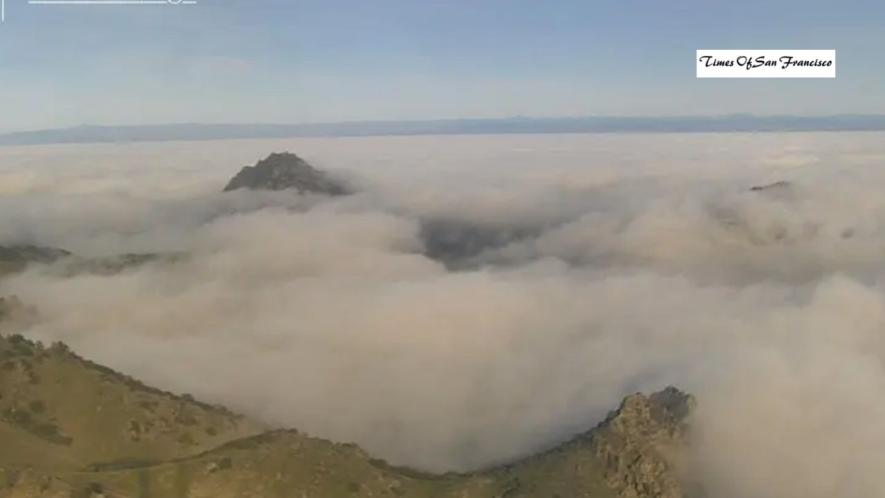
Thick fog continues to settle over Northern California this week as a strong high-pressure system remains locked over the region. This stable weather pattern is keeping temperatures steady, trapping moisture near the ground, and creating widespread fog — especially during the early mornings.
Why the Bay Area Is Seeing So Much Fog
A large high-pressure system is sitting over California, pushing storms away and creating very light winds. When winds are weak, temperatures drop sharply at night, causing dew to form and turn into fog. The same calm weather is also trapping pollution, leading to poor air quality.
Because of this, the Bay Area Air Quality Management District has issued its first Spare the Air alert of the season for Wednesday and Thursday.
Where Fog Will Be the Thickest
On Wednesday morning, heavy fog is most likely in:
- Sacramento Valley
- Delta region
- Wine Country
- East Bay interior valleys
San Francisco and Oakland may see clearer skies as light Diablo winds push in drier air.
What Is a Temperature Inversion?
Winter high-pressure systems often create a “temperature inversion,” where warm air sits on top of colder air near the ground. This traps fog and cold air below.
For example, on Tuesday morning, Mount Diablo’s peak was 52 degrees and sunny, while the valleys below were in the 30s under thick fog. This pattern is expected to continue through Thursday.
Stable Weather Will Continue — But Change Is Coming
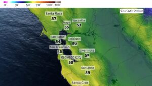
Daytime temperatures in San Francisco will shift only about 3 degrees through Saturday, and overnight lows will also remain consistent.
By late weekend, a cold low-pressure system from Canada may approach. It won’t bring much moisture, but it could deliver light showers and stronger winds that may finally clear out the fog.
The exact track of this system is still uncertain. A small shift westward could bring more rain and even mountain snow.
Wednesday Weather Breakdown by Region
San Francisco
- Drier northeast winds should keep morning fog lighter.
- Mostly sunny late morning through afternoon.
- Highs: upper 50s to low 60s.
- Lows: mid to upper 40s.
- Patchy valley fog possible overnight.
North Bay
- Morning fog likely, visibility may drop below 1/4 mile.
- Expect delays on Highway 101 (Sonoma) and I-80 (Solano).
- Some sun by afternoon, but pockets of fog may linger.
- Highs: low to mid-60s in sunny areas; cooler where fog persists.
- Lows: upper 30s to mid-40s.
East Bay
- Foggy start in inland valleys.
- Sun should break out faster due to drier air.
- Morning gusts up to 30 mph in Oakland and Berkeley hills.
- Highs: low 60s along I-680; mid-60s west of Caldecott Tunnel.
- Lows: 40s, with upper 30s in rural areas.
Pacific Coast & Peninsula
- Half Moon Bay may again be one of the warmest spots.
- Warm east winds from Santa Cruz Mountains help temps rise.
- Highs: mid-60s.
- Patchy morning fog, mostly sunny afternoon.
- Lows: upper 30s to mid-40s.
South Bay & Santa Cruz
- San Jose Airport may see visibility drop below one mile.
- Patchier fog than recent days, clearing by midmorning.
- Highs: mid to upper 60s; Santa Cruz may reach low 70s.
- Lows: low to mid-40s; rural areas may dip into 30s.
Conclusion
Foggy mornings and stable weather will stay with the Bay Area through Thanksgiving, thanks to a strong high-pressure system. Expect cool mornings, mild afternoons, and reduced air quality mid-week. A shift in the weather pattern may arrive by late weekend, possibly clearing out the fog and bringing light showers or wind. Stay tuned for updates as the forecast becomes clearer.
