California’s Bay Area is experiencing a mix of cool temperatures, persistent fog, and a growing dry spell. Despite being in the state’s rainy season, the region hasn’t seen measurable rainfall in almost three weeks.
Cool, Cloudy Weekend in the Bay Area
Over the past weekend, much of the Bay Area was cooler than expected. A stubborn layer of tule fog spread across the North Bay and East Bay, keeping daytime highs 10 to 20 degrees below normal. Sacramento and the Central Valley also saw unusually low temperatures, with average highs of 50 degrees — the coldest late-November/early-December stretch since 1972.
Fog and Clouds Impacting Temperatures
Satellite images showed tule fog and cloud cover stretching into the Bay Area. These conditions kept temperatures cooler than forecasted, especially in low-lying and inland areas. The fog has made predicting daily highs more uncertain, particularly for the North Bay and East Bay.
Dry Spell Raises Concerns
San Francisco hasn’t recorded measurable rain since November 20, marking 18 consecutive rainless days. This is unusual during California’s rainy season, following a very wet November. Forecasts show no rain expected until at least December 15, which could extend the streak to 25 days — the longest November-December dry period in nearly 50 years.
The dry conditions are already affecting Tahoe ski resorts and could impact water supplies if the pattern continues. Northern California is particularly dry, running a 4- to 6-inch precipitation deficit over the past two weeks.
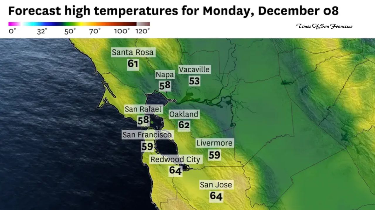
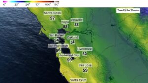
This Week’s Weather Forecast
The week ahead will be similar to last week, with cool but slightly warmer temperatures. A ridge of high pressure will bring highs mostly in the 60s, with some areas reaching around 70 degrees by midweek.
Regional Forecasts
San Francisco
Monday will start with low clouds, especially on the west side, but skies are expected to clear by midday. Temperatures will range from the mid- to upper 50s. A north-northwest wind at 10–20 mph will keep it cool. Overnight lows will be in the mid-40s, with some cloud cover returning.
North Bay
Tule fog makes forecasts uncertain. Morning clouds may clear in areas with a north wind of 10–20 mph, allowing highs in the low 60s along Highway 101. Vallejo, Benicia, and Fairfield may remain cooler, with highs in the low 50s. Overnight lows will be in the 40s.
East Bay
Morning clouds should lift first in the Berkeley–Oakland–Hayward corridor. Highs will be in the low 60s, with mostly sunny skies inland. Overnight will be partly cloudy with lows in the 40s.
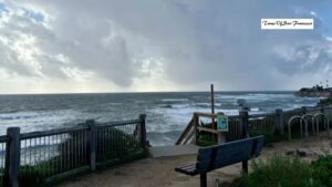
Pacific Coast
Mostly sunny skies are expected with highs in the upper 50s to around 60 degrees. North winds at 10–20 mph will ease overnight. Lows will be in the 40s.
Peninsula
Morning clouds will clear quickly, leaving sunny skies with highs in the 60–65 degree range. A north wind at 10–15 mph will make it feel cool. Overnight temperatures will drop into the 40s.
South Bay
Morning clouds will clear by late morning, leading to sunny skies and highs in the mid-60s. Winds will be light, and overnight lows will be in the 40s with partly cloudy skies.
Conclusion
The Bay Area continues to face cool, foggy weather with an unusually long dry streak. While sunshine may return to many areas during the week, the lack of rain raises concerns for water resources and winter recreation. Residents should expect chilly mornings and mostly clear afternoons, but tule fog remains unpredictable, particularly in inland valleys and low-lying regions.