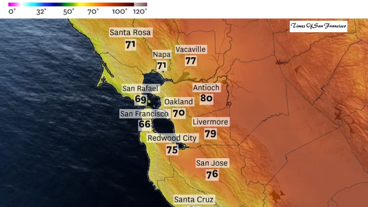
San Francisco ended November with a major weather record. Sunday’s high temperature reached only 50 degrees — the coldest high ever recorded on the last day of November. It was also the first time since February 2023 that the city stayed below 50 degrees.
The unusual chill stretched across Northern California. Sacramento recorded its coldest November day in nearly 40 years on Thanksgiving, reaching just 48 degrees. Inland Bay Area cities like Concord, Napa and Vacaville also ran 8 to 12 degrees below normal during the final week of the month.
Why Has It Been So Cold — And When Will It Warm Up?

After several cold days, a slow warm-up is finally expected. Tuesday will act as a transitional day as a weak frontal system moves through the Bay Area early in the morning. While the clouds won’t disappear right away, this system marks the start of a shift toward clearer, drier, and warmer conditions.
Morning Clouds, Afternoon Sunshine
Tuesday morning will remain chilly and cloudy, but sunshine should break through later in the day. Offshore winds won’t be strong enough to completely clear the thick tule fog in Sacramento and the Central Valley. However, some areas could see brief sunshine by late afternoon.
What to Expect in the Bay Area
Weather conditions across the Bay Area will look similar to Monday. Expect morning clouds with temperatures in the 40s, followed by mostly sunny skies in the afternoon. In San Francisco and the western Peninsula, clouds may fill back in toward sunset.
Wednesday Marks the Real Warm-Up
Wednesday is expected to bring the biggest change. Dry northeast winds will increase as a large upper-level storm system moves along the California–Nevada border. This drier air should break the inversion layer that has trapped cold air and clouds over the region.
Even Sacramento and the Central Valley should see sunshine on Wednesday. Temperatures won’t rise dramatically, but most locations will reach the mid-50s to low 60s, making the air feel more comfortable.
The rest of the week should stay dry, calmer, and slightly warmer as the region enters a period of stable weather.
Tuesday Weather Breakdown by Region
San Francisco
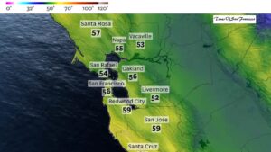
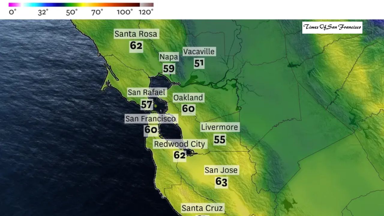
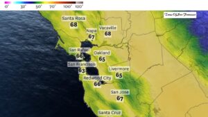
Thick morning clouds clear to mostly sunny skies in the afternoon. Highs reach the upper 50s in the west and the low 60s downtown and in the Mission. Clouds may return by sunset. Overnight lows stay in the upper 40s with northeast winds between 10 and 20 mph.
North Bay
Morning clouds fade into sunshine. Highs range from the 50s near Point Reyes to the mid-60s in Petaluma and Santa Rosa. Vallejo and Fairfield may stay cooler in the 50s. Clouds return in the evening, then break overnight. Lows drop into the 30s in valley areas and upper 40s along the coast. Northerly winds strengthen after midnight to 10–20 mph with stronger gusts in the hills.
East Bay
Patchy morning clouds disappear by midday, bringing clear sunshine. Coastal highs reach the lower to mid-60s, while inland highs sit in the lower 60s. Partly cloudy skies return at night. Lows fall into the 40s, and winds shift from light southwest to northeast at 10–20 mph after midnight.
Pacific Coast & Peninsula
Morning clouds clear by midday. Highs reach the lower 60s along the coast and mid-60s inland. Overnight, coastal areas turn mostly cloudy and drop into the mid-40s as winds strengthen. Inland areas remain in the 40s with lighter breezes.
South Bay
Mostly sunny and pleasant by midday. Highs reach the mid-60s in San Jose and Cupertino. A few clouds return overnight, with lows in the low to mid-40s.
Conclusion
After a record-cold finish to November, the Bay Area and Northern California will finally begin to warm up. Tuesday brings the first signs of change, while Wednesday marks a bigger shift toward sunshine and milder temperatures. By the end of the week, residents can expect calmer, clearer, and slightly warmer weather.